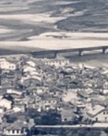
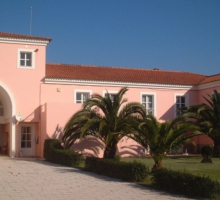
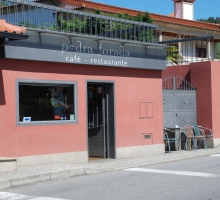
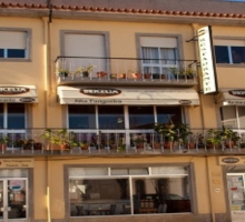
The Pedestrian Route Network, which running through the town of Fão, a former salt center in the middle ages, with its historic area as the highlight and the natural scenery along the Cavado rive estuary and the Atlantic ocean beaches .
Datasheet
Foothpath name: Memory route
Promotional Entity:Esposende town council
Route location: Fão
Route type: small route and circular
Route scope: urban,historc landscape and natural
Depart point: Bom Jesus de Fão Avenue
Arrival point: Bom Jesus de Fão Avenue
Length of route: 5,85km
time required: 2 hours
Minimum elevation: 2m(avenue next the river)
Maximum elevation: 11m (Facho da Boanança)
Interest points:Senhor Bom Jesus of Fão Church, Cávado River,Marginal walway,Alminhas Dock,D. Luis Filipe bridge,Ofir beach houses Ofir pinewood, Nossa Senhora da Bonaça old lighthouse and chapel, Medieval cemetery , Msericórida church, parish church of Fão,, Bom Jesus Avenue and Banstand, Nossa senhora de Fátimas chapel.
Recommended season: all year
Location: Esposende


