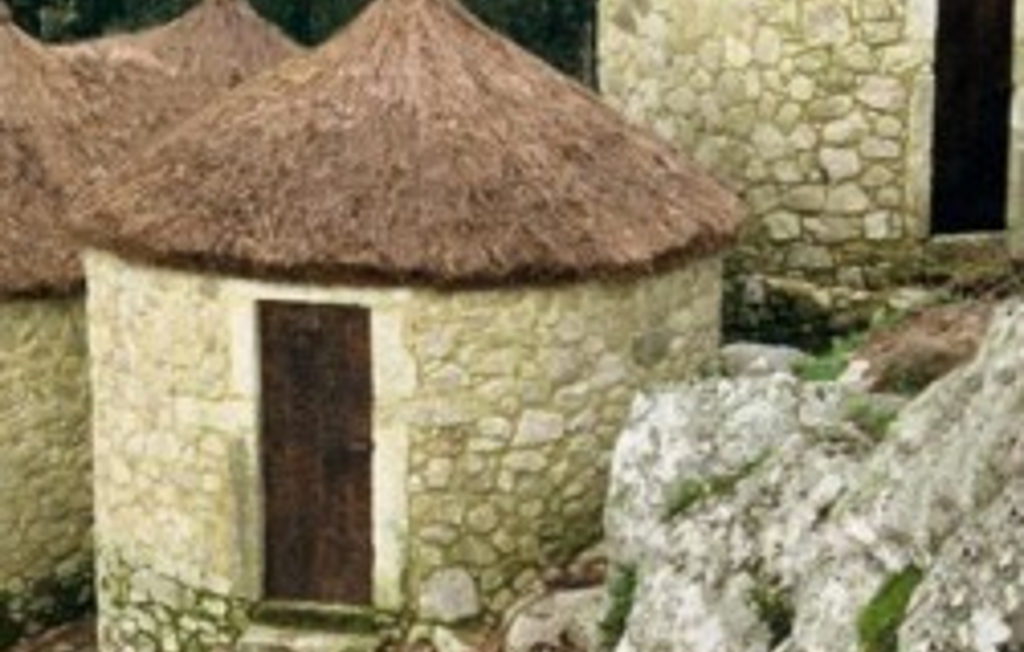
This route begins at the fort of São Lourenço and leads you on to discover thousand-year-old monuments and remnants of the presence of man in times prior to that of the forts located on the plateau of Vila-CVhã.However,it is not only the monuments that make this hike worthwhile, as there is plenty to appreciate in terms of nature,landscape,and ethnography.
Data Sheet:
Route name: Castro de S. Lourenço
Sponsor:Esposende Town Council
Route Location:Vilka Chã plateau-Esposende
Route Type: short, circular
Route Scope:Historic, landscape and natural
Point of departure: São Lourenço Fort
Length of route: 9.5km
Time Required:4 hours
Level of difficulty.esy
Minimum elevation: 159 metres(Estrada da Abelheira)
Maximum elevation 222metres(Aldeia de Cima)
Points of interest: The fort of São Lourenço , the chapel and lookout point of São Lourenço.The Cruzinha/Arribas dolmen, Vila Chã parish church, the Rapido dolmen and the portelagem dolmen
Location: Esposende
Data Sheet:
Route name: Castro de S. Lourenço
Sponsor:Esposende Town Council
Route Location:Vilka Chã plateau-Esposende
Route Type: short, circular
Route Scope:Historic, landscape and natural
Point of departure: São Lourenço Fort
Length of route: 9.5km
Time Required:4 hours
Level of difficulty.esy
Minimum elevation: 159 metres(Estrada da Abelheira)
Maximum elevation 222metres(Aldeia de Cima)
Points of interest: The fort of São Lourenço , the chapel and lookout point of São Lourenço.The Cruzinha/Arribas dolmen, Vila Chã parish church, the Rapido dolmen and the portelagem dolmen
Location: Esposende